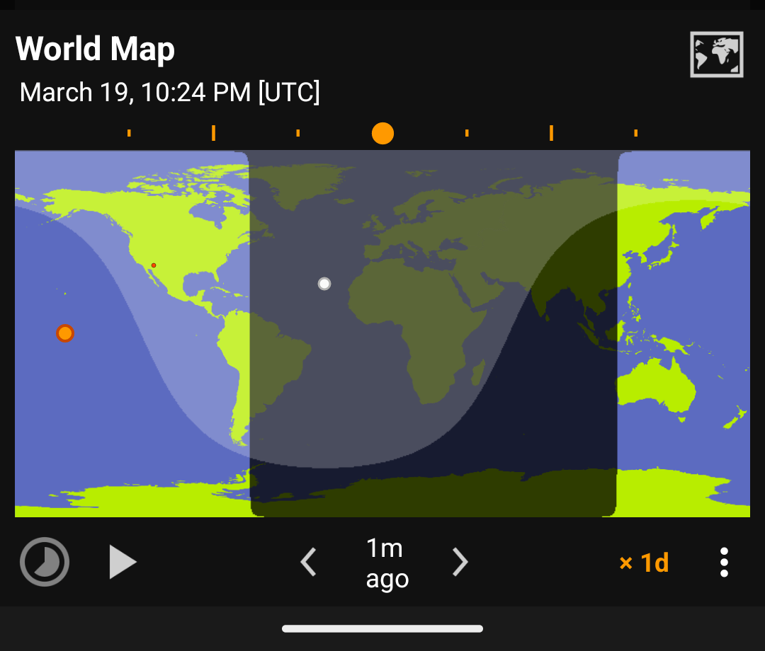
World Map
Maps
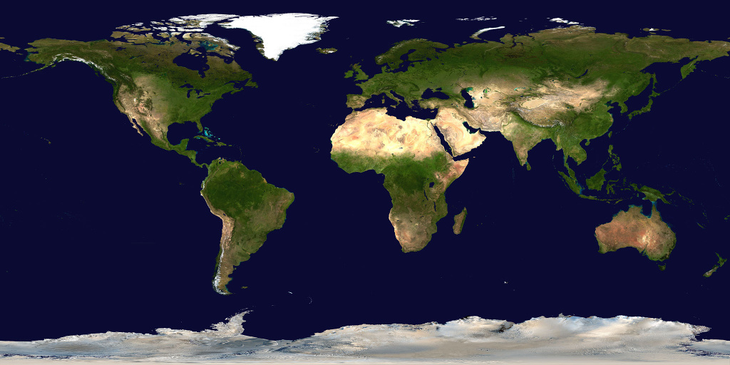
- Basic
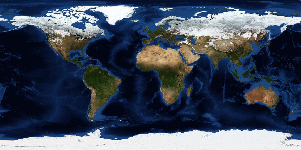
- Blue Marble
- Mercator
- Mercator equal-area
- Van der Grinten
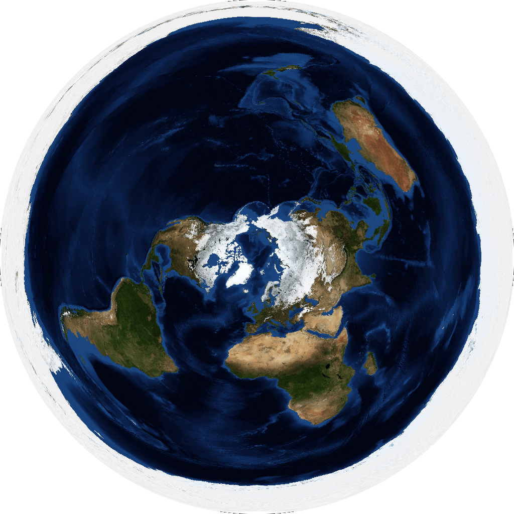
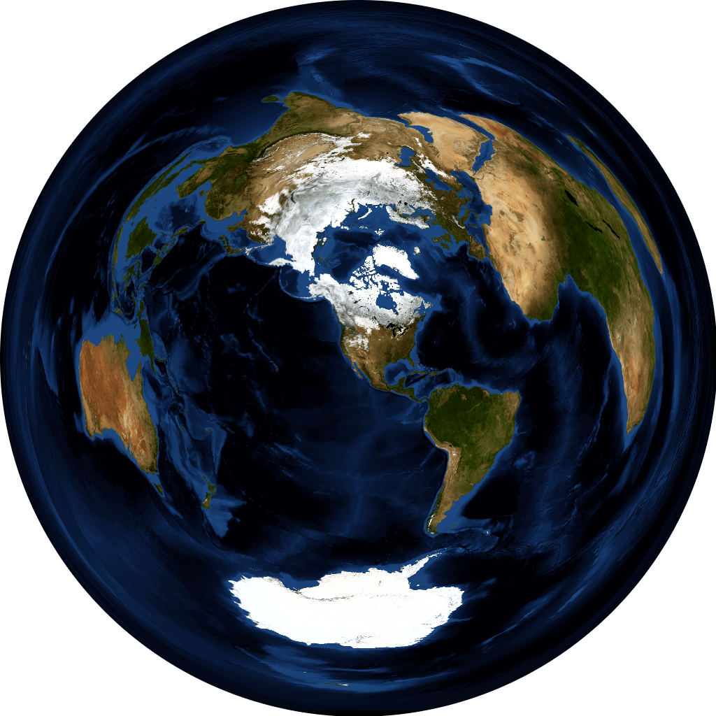
- Polar (North)
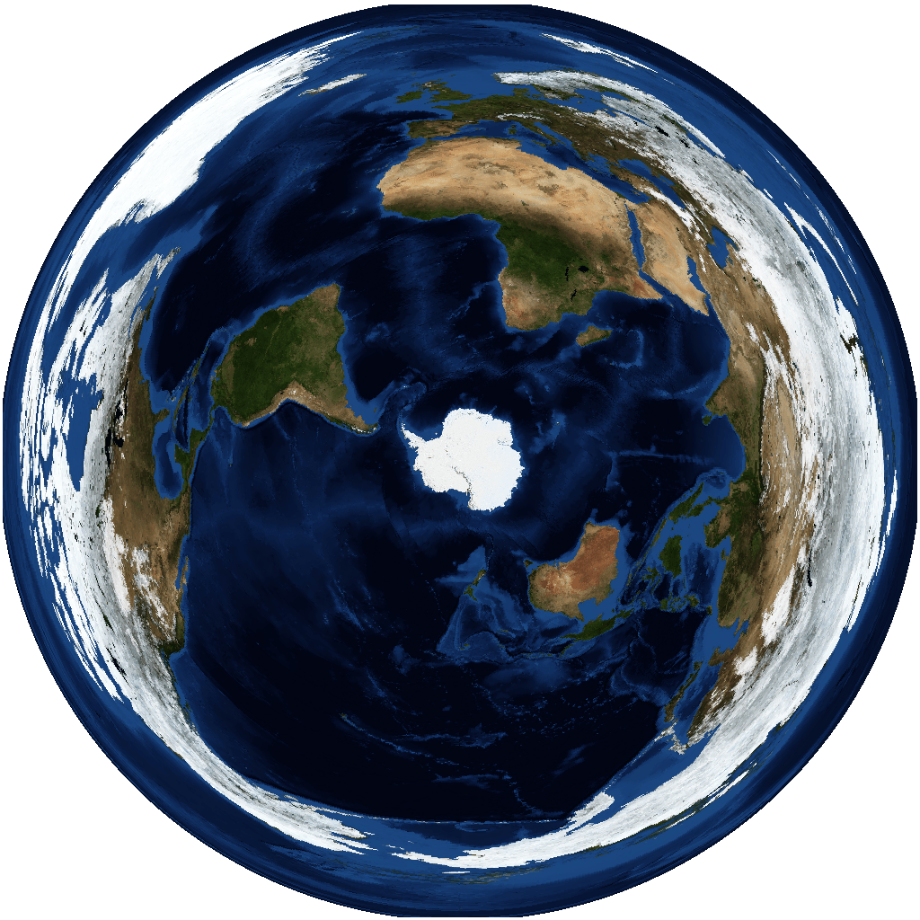
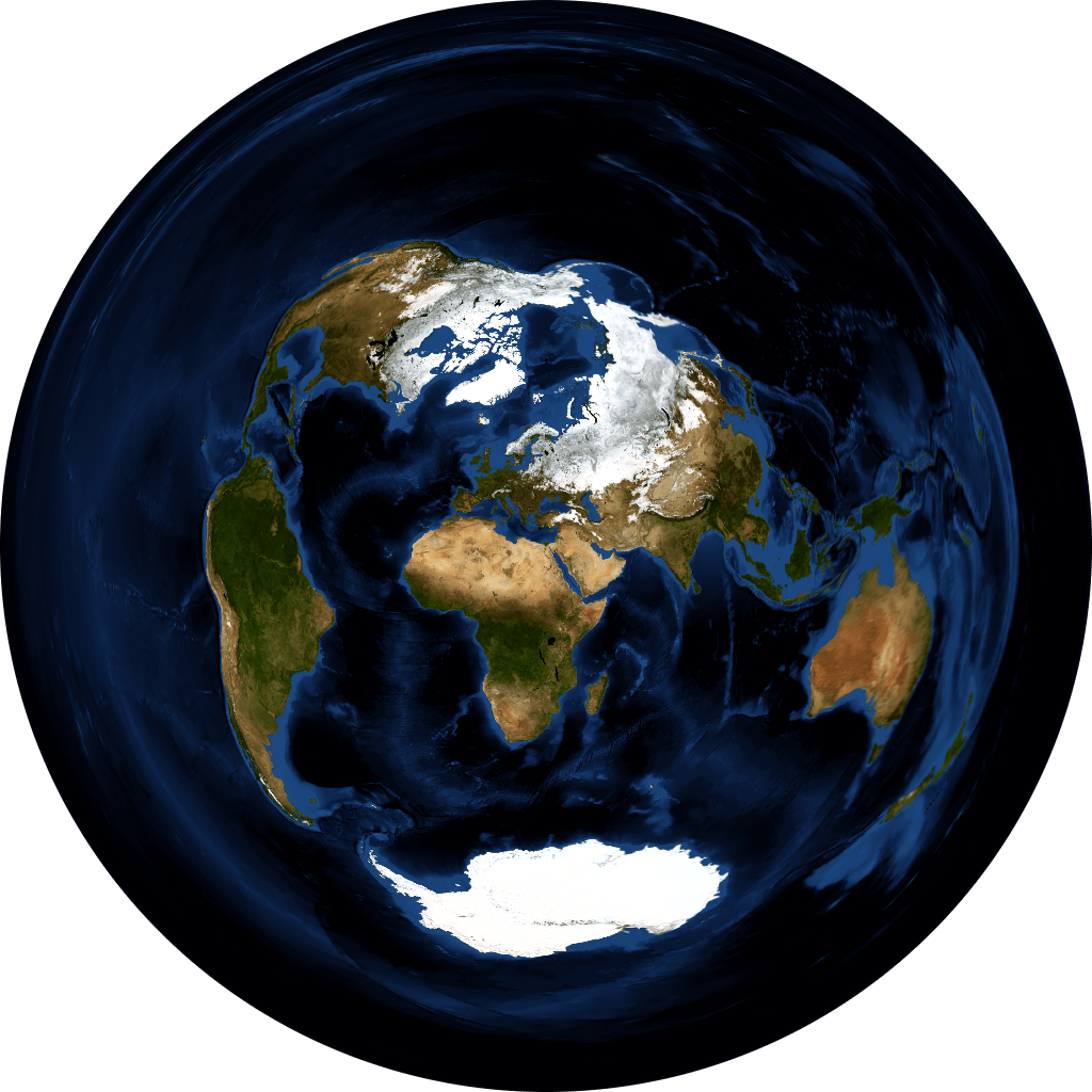
- Polar (South)
- Azimuthal Equidistant (North America)
Map Options
Use
: -> Options to change the map’s options.
- Sunlight (shadow)
- Moonlight
- Location (dot)
- Graticule (minor grid lines)
- Major Lines (equator, tropics, arctic circle)
The map options are also applied to home screen widgets.
Play (animation)
Suntimes can animate the world map at different rates.
15mthe frames are 15 minutes apart.1dthe frames are 24 hours apart.
Tap and to step through frames one at a time.
Tap to play the animation, to pause it, and to reset to the current moment.
Long pressing the map will also play the animation, and tapping it again will pause.
Share (Record)
Suntimes can share individual frames, or record all frames in an animation.
Use
: -> Share to share the current map view.
To share an animation, long press
to start recording.
When finished, tap
(where the play button was previously) to share the frames (as .zip).
View Date
Use
: -> View date to open other dialogs at the selected date/time.
Set Background
Suntimes can be configured to display a custom world map background.
Use
: -> Center -> Set Background to change the map’s background image.